Canyonlands National Park
Blog 308: Dead Horse and a Pucker Pass
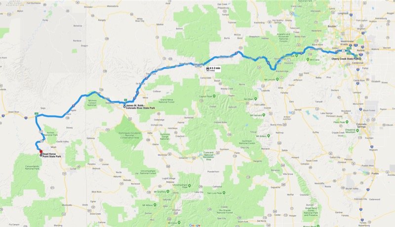
Given a choice, we often choose not to take interstates, as the less-traveled paths often are more inviting. But heading west from Denver provides few alternatives, so we took the always-dependable I-70 West. With the sun at our back, the mountain peaks glistened with lots of bright white. And with the vibrant greens of meadows adding brilliant contrasts, it was just a beautiful journey. To top it off, we saw three (yes, I said three!) flocks of bighorn sheep (totaling at least 50 head) less than 100 yards from the road.
James Robb Colorado River State Park
We stopped for the night east of Grand Junction at James Robb Colorado River State Park. This is a beautiful park with the Colorado River running through it, with mountains surrounding three sides. We will stay here again.
On to Moab
We had a headwind all across Colorado, and it picked up once we left the state. But the traffic was light, the roads were decent, and the scenery made the trip a joy.
We have been to the Moab area three times before, and each time the temperature was above 100 degrees. In those past trips we spent our time exploring Arches National Park and stopping by the Moab Brewery to cool off. This time our objective was to explore Canyonlands National Park and Dead Horse Point State Park.
Normally, this area only gets 10 inches of rain a year, but during our four days it was cloudy and/or rainy most of the time, with temps mid 40s to low 60s. Nice to have things green and comfortable.
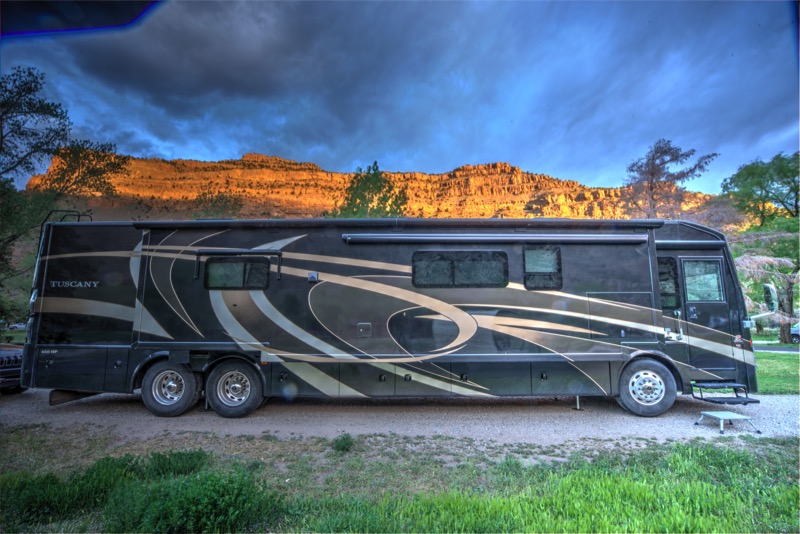
Dead Horse Point State Park
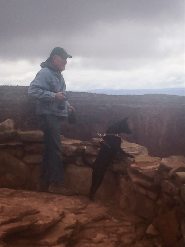
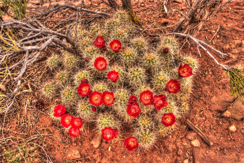
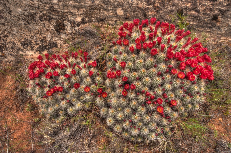
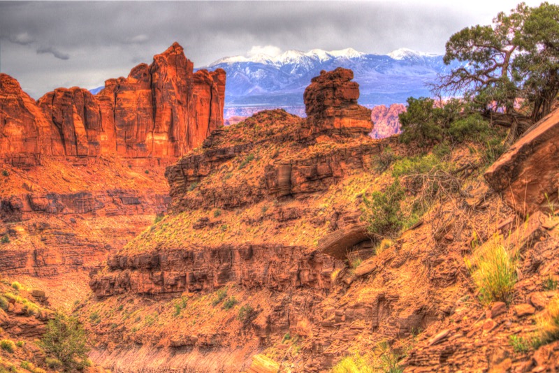
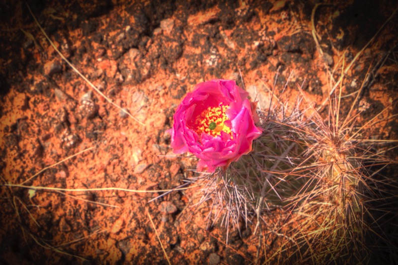
We stayed at a beautiful, brand-new campground. Big and level with views of the snowy-peaked La Sal mountains. Here is the view from the nature trail, curious Jack and his master, and a blooming cactus found along the way.
Dead Horse Point
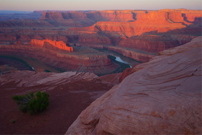
According to legend, the point overlooking the canyon was once used as a corral for wild mustangs roaming the mesa. Cowboys rounded up these horses, herded them across the narrow neck of land and on to the point, and corralled them with branches and brush. Here cowboys would select the horses they wanted and release the rest. For reasons unknown, several horses were stranded in their corral and died of thirst 2,000 feet above the waters of the Colorado River.
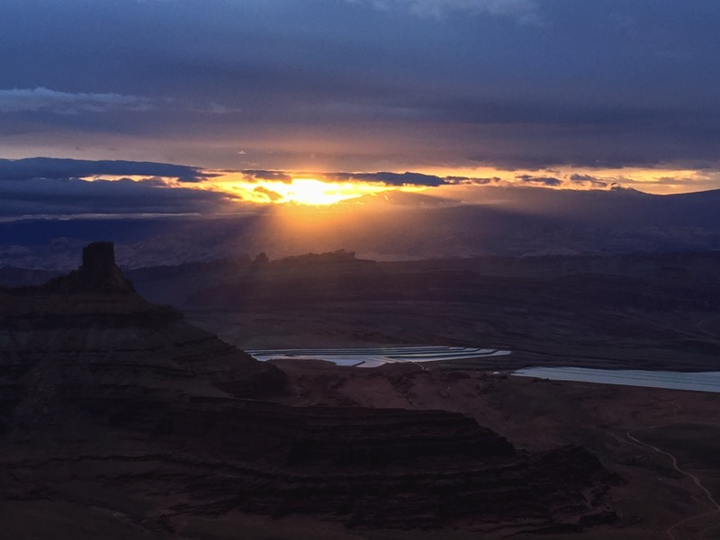
We went a couple of times for the famed sunrise photography. Here is a nice shot Jan took into the sun, and a couple I took looking into the canyon reflections.
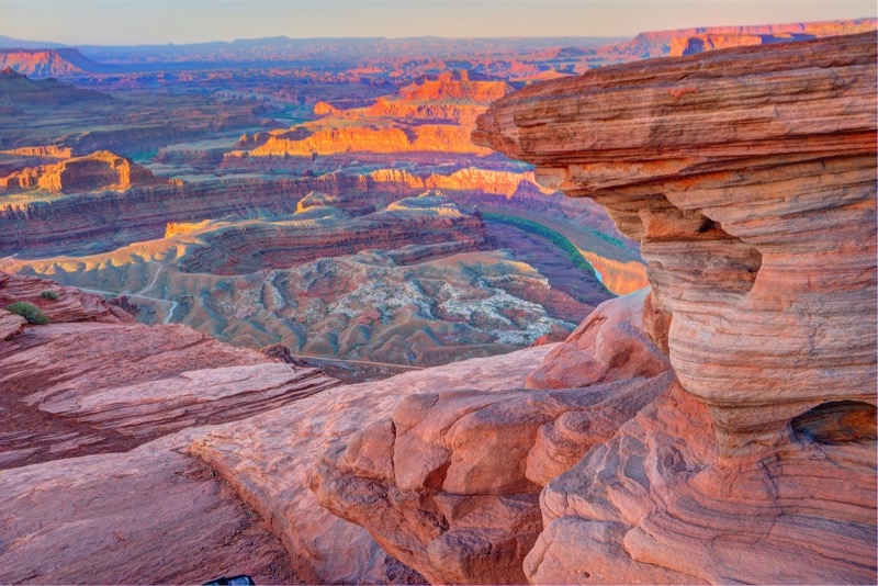
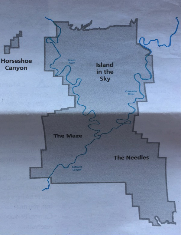
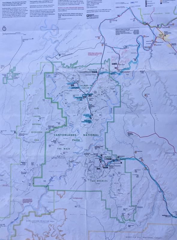
Canyonlands National Park
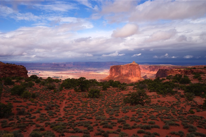
Consisting of 560,000 acres, Canyonlands is naturally divided by the Colorado and the Green River into three sections. The Maze is by far the least traveled, as it takes days of background 4-wheeling and rough camping to explore. Island in the Sky and the Needles are the other components.
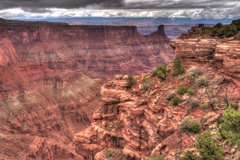
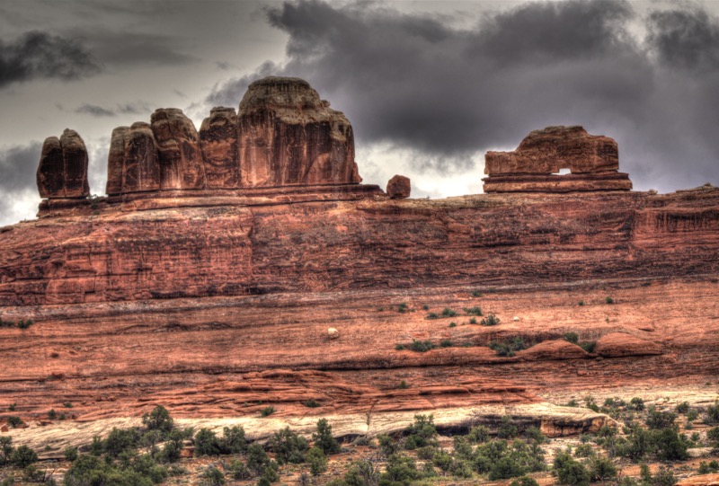
Scenic Paved Drive
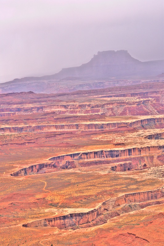
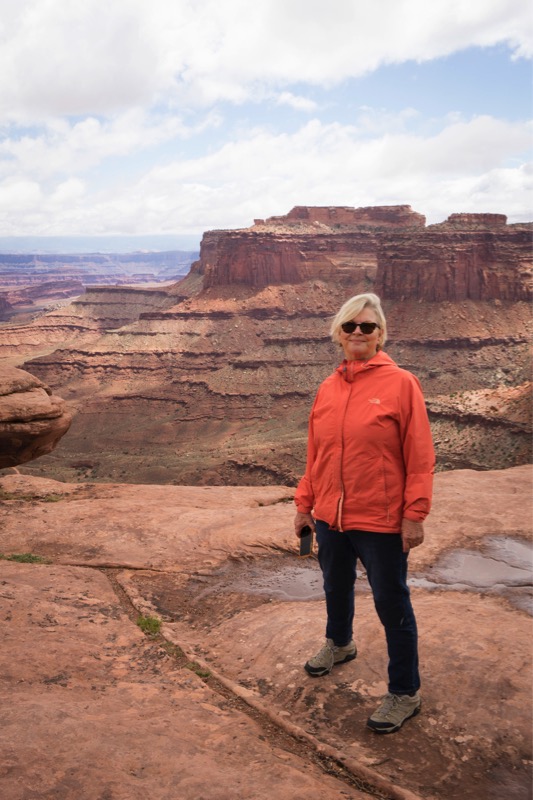
Like most tourists, we took the basic drive stopping at all designated areas and getting out and walking/hiking as appropriate. Here is a shot of Grand View and Holeman Spring Canyon.
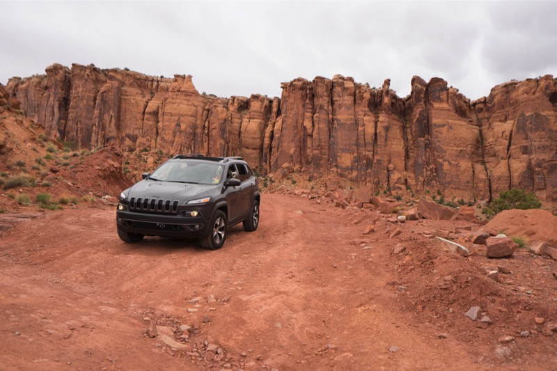
Pucker Pass
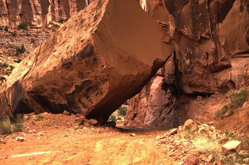
When I first heard of Pucker Pass, I assumed it was name after someone such as a locally famous pioneer, meaning Pucker Pass was named after Peter Pucker or the like. However, once upon the steep, narrow, rocky road, I quickly felt that pucker was a verb and not a noun. Rocky and narrow, curvy and steep, it was just the type of “path” that Jan thrives on. We were the only ones on this “road” as we went down and around this “shortcut” to Moab. A ranger had alerted us that a boulder had fallen across the road but that you could drive underneath it, otherwise we may not have.
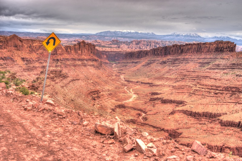
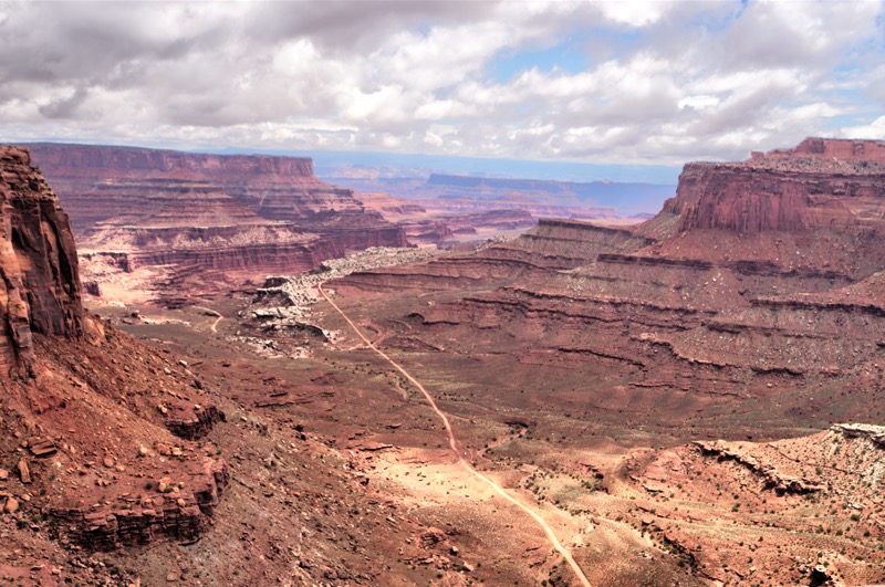
Shafer Canyon Road and Shafer Canyon Basin
I had read about the great views of Shafer Canyon, so we decided to take the dirt road that started on the top of the canyon and wound its way down to the canyon basin. If Pucker Pass was a 7 on the “Scary Road” scale, then the Shafer Trail was a 9…really steep in places…really skinny in others…and really rocky most of the way.
The Needles
From our campground at Dead Horse Point State Park to the Needles section of Canyonlands and back, we put on over 200 miles on this road trip. Lots of miles, but worth the effort.
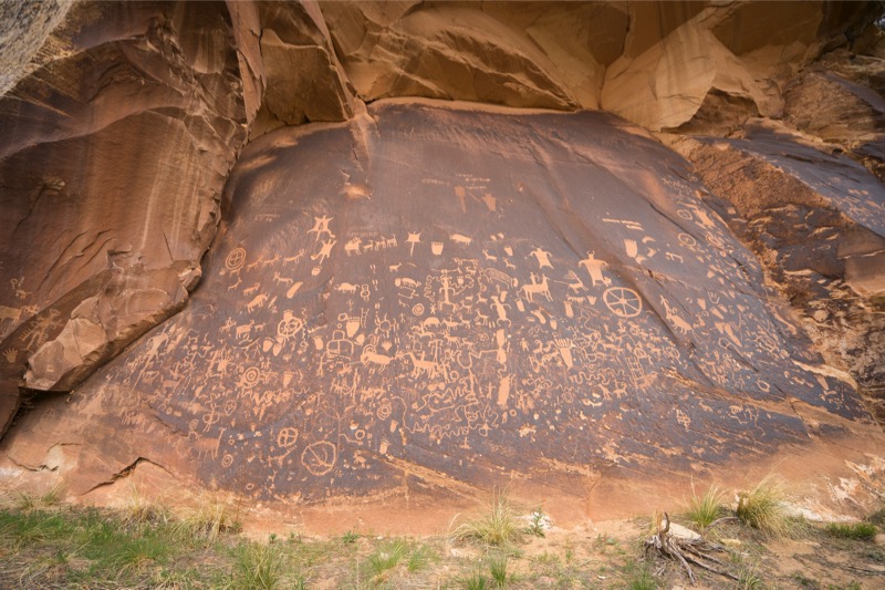
Newspaper Rock Archaeological Site
On our way to the Needles, we stopped to take a look at Newspaper Rock, a petroglyph panel etched in sandstone that records approximately 2,000 years of human activity. Prehistoric peoples etched on the rock from B.C. to A.D. 1300. Ute and Navajo as well as European Americans made contributions. Unfortunately, scholars don’t know if it represents storytelling, doodling, hunting, ancient graffiti, or something else. Pretty cool.
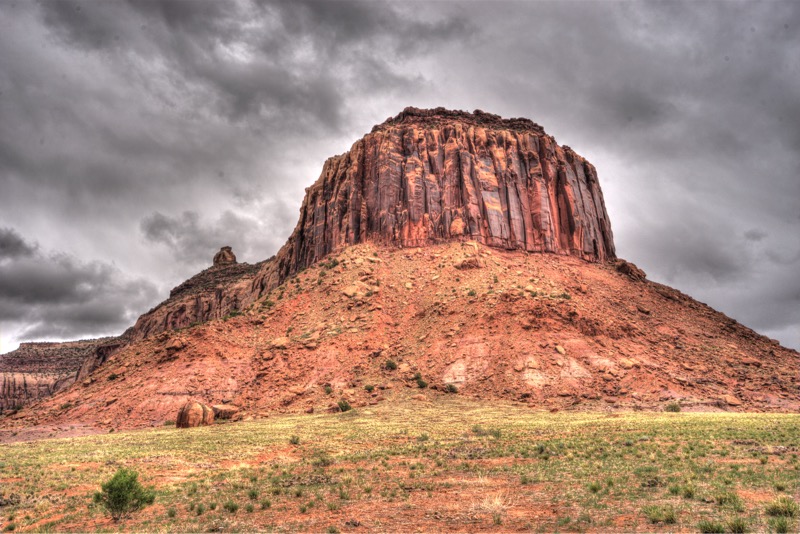
Scenic Paved Drive
Once inside the park again, we took the Scenic Drive. Pretty trip, lots of nice scenery, but a long day.
Back in Moab, we treated ourselves to the Quesadilla Food Truck (Mitzy had her favorite—double cheese). Gorgeous scenery—wonderful trip—highly recommended
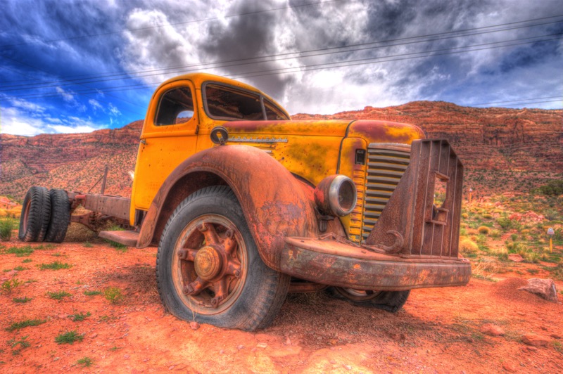
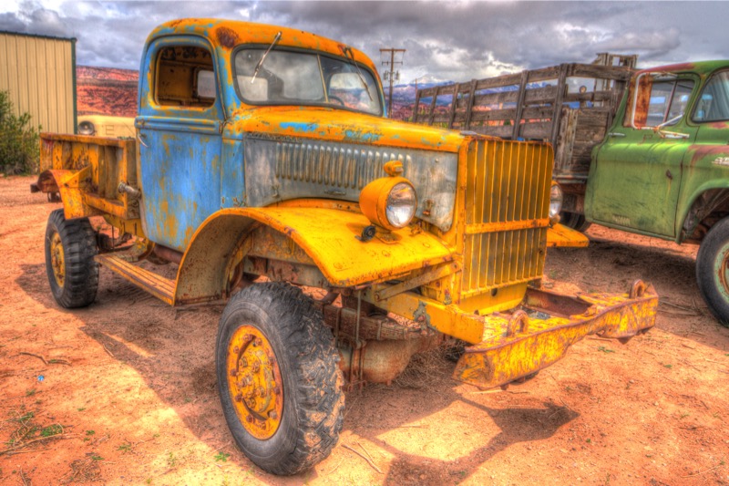
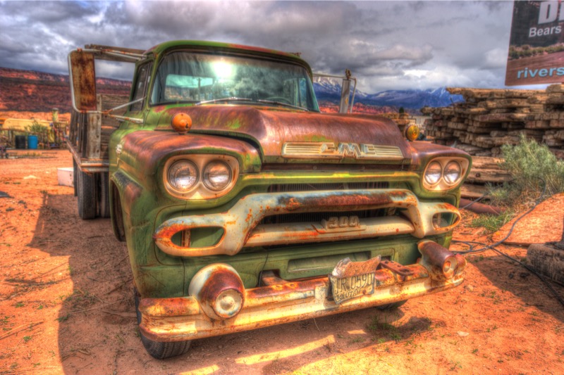
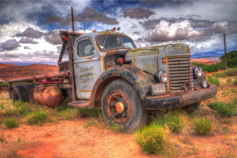
Old Trucks
Here are four old trucks from Moab.
See you next time.