
Carson National Forest
Blog 306: Monumental Monuments and Taos Tacos
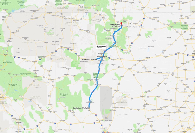
Albuquerque
From Caballo Lake, we headed north on I-25, and then turned west on I-40 for about 15 miles to our new short-term lodging at Route 66 RV Resort, a part of Route 66 Casino. Big, new park with lots of empty sites during the off-season.
Big Day Trip to National Monuments
El Morro
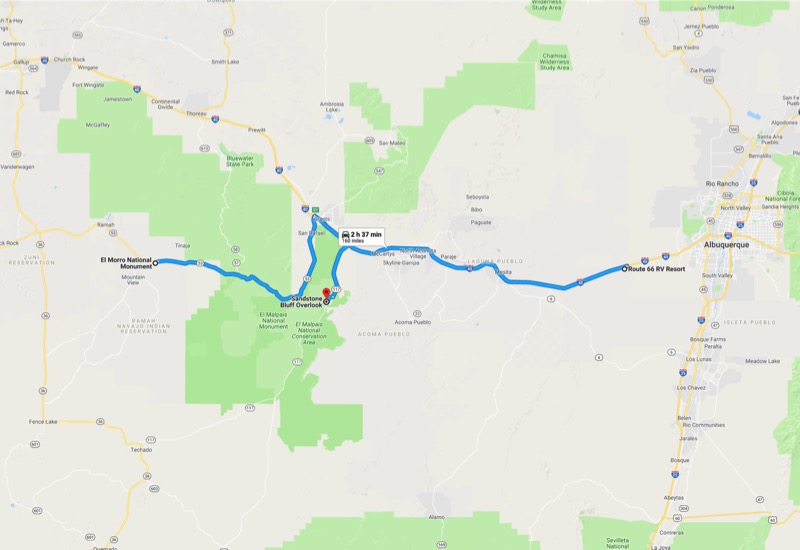
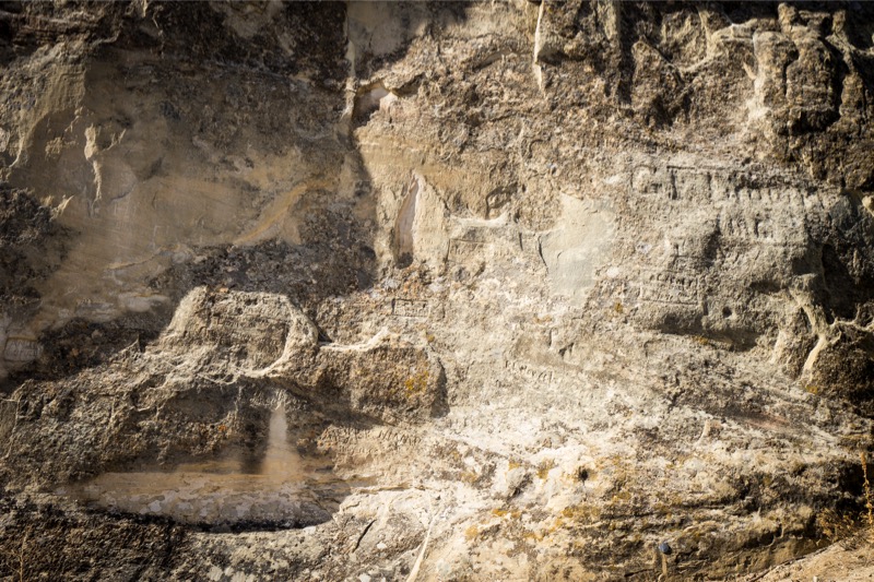
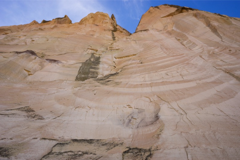
Getting an early start, we drove 100 miles through light traffic on good roads to the dog-friendly El Morro National Monument arriving just a few minutes after the park opened at 9 a.m. After stopping at the visitor center, we took the short Inscription Rock Trail, first stopping at the pool and then on to Inscription Rock, where hundreds of travelers over the centuries carved their names into the rock…ancient Puebloan Indians, Spanish explorers, Jesuit priests, and American settlers of the Old West. El Morro was a very special place—the only source of fresh water for 100 miles. Many a traveler would have perished except for this oasis in the desert.
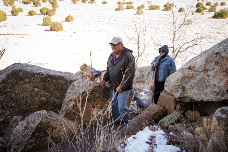
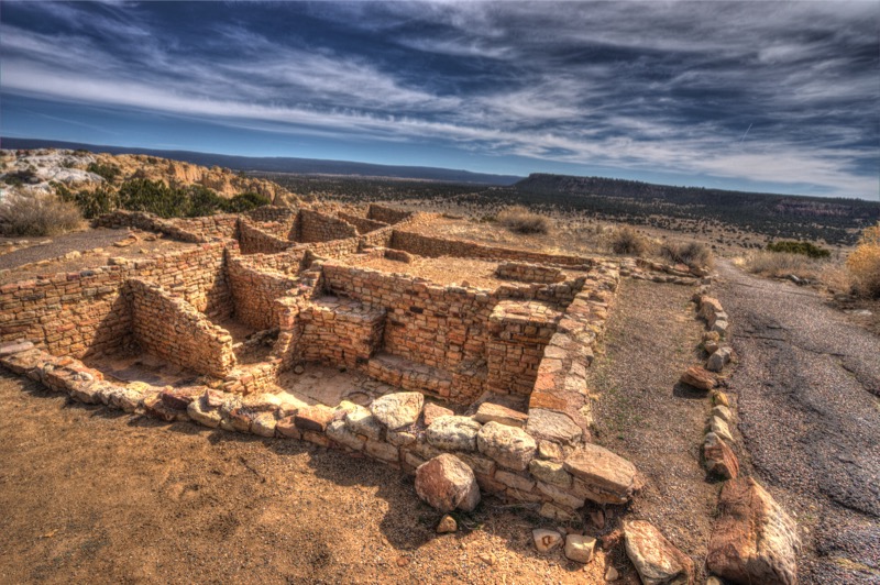
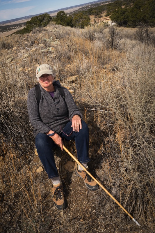
Some of our group took the trail to the top to view the ancient dwellings and kiva of the Anasazi.
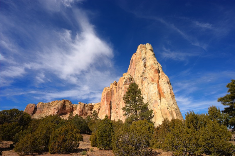
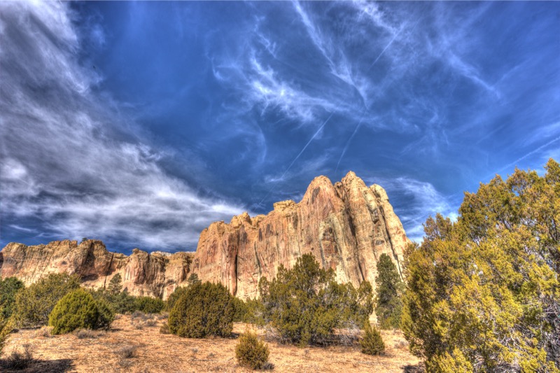
Here are some other scenic shots of this impressive specimen.
El Malpais
Close to El Morro is the El Malpais National Monument. Malpais translates into “badlands,” and the term is used across the Southwest referring to all grounds with lava flows. Those of you who have visited and enjoyed the Craters of the Moon National Monument in Idaho would feel right at home here. We stopped at the huge visitor center just east of Grants, then headed south on Highway 117 stopping at Sandstone Bluffs for a picnic lunch. We then traveled back, heading south to our campgrounds.
New Mexico is very dry and the (mainly) westerly winds picked up midday, every day, at 20 miles an hour, with gusts up to 40 miles per hour—not grilling or campfire weather.
Taos
After a beautiful ride from Albuquerque, we headed north and a little east to set up camp at our favorite place, the Taos Monte Bello RV Park, just west of town a couple miles on US 64. Here is a sunrise shot from our campsite.

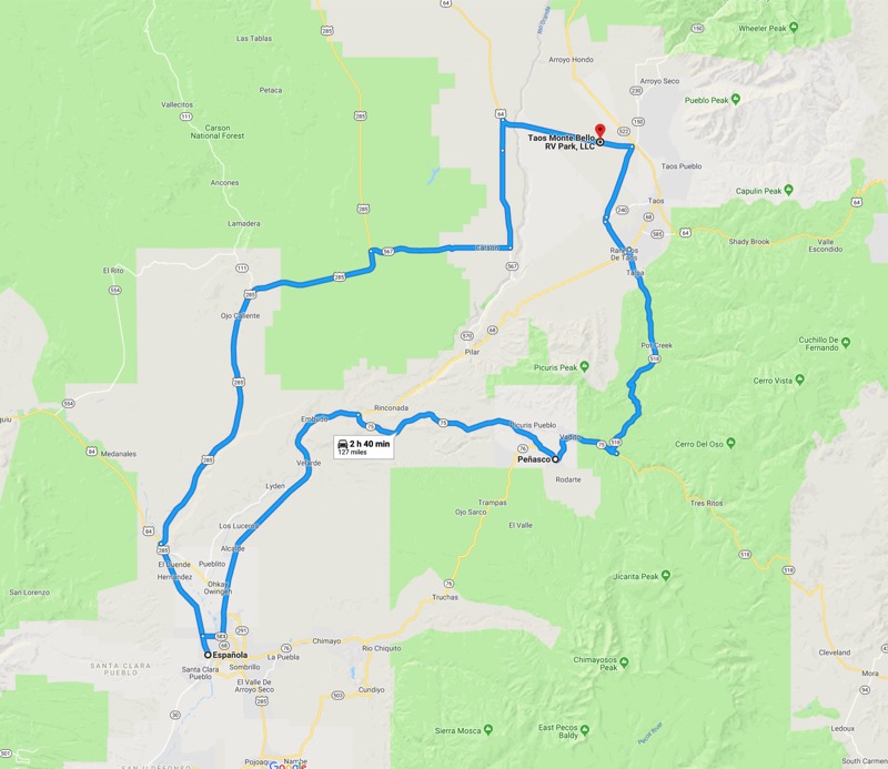
High Road to Taos
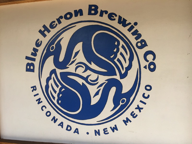
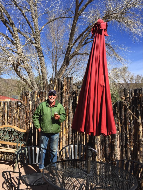
On our way to Taos, I sadly watched many old trucks along our route, starting at Espanola. Since it is crazy difficult to park the rig in most places, get out, shoot a photo, and get back in the coach without a hassle, I longingly watched as we passed by many good-looking old trucks. Therefore, the next morning, we loaded up the pups and retraced our previous route down to Espanola. About an hour down the road, we stopped at the Blue Heron Brewery, where I had a pint (Jan was driving). Just a little-bittie old building on the side of the road, but a great way to kickstart our journey.
A few miles further, and we spotted some old trucks a few hundred yards off the road. As we pulled up, out drove Anthony, the owner, his granddaughter, and his pup. He walked me around his prize trucks (he has plans to fix them all up). You will be seeing all of them up close in later blogs.
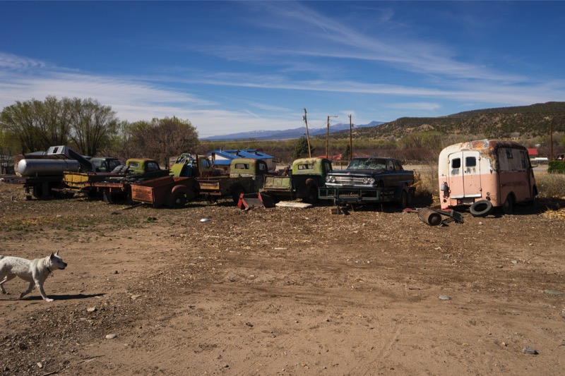
At the southern edge of Espanola, we found a dozen or so more classy old trucks—what a day! New Mexico is a wonderful old-truck-hunting area. We ended the morning with a couple of awesome taco platters (Jan had carne and I had fish) from a food truck. We then circled around to return, taking a section of one of the area's scenic drives, the High Road to Taos.
Enchanted Circle
On Easter morning, we took a day trip on another famous scenic drive, the Enchanted Circle.
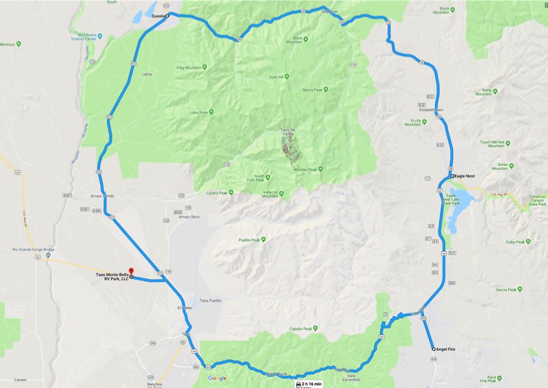
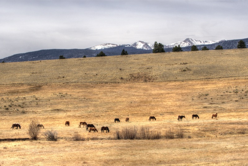
This route travels around New Mexico’s largest mountain, Wheeler Peak, part of the Sangre de Cristo Mountain Range that spans from southern Colorado to the southern parts of New Mexico. Known for its incredible scenic beauty, we decided to confirm this hypothesis. The drive started by heading east on US 64 out of Taos, passing through the empty streets and unopened shops. As we went east, the elevation increased as we passed through the lush evergreen forest. The windy road climbs through Taos Canyon and into the Carson National Forest.
Once over Palo Flechado Pass at 9,101 feet, we descended out of the forests and into the Moreno Valley, arriving in the town of Angel Fire, where I found another old truck ripe for photographing.
We stopped briefly to admire the distinctive white, sail-like structure of the Vietnam Memorial, and then continued north on US 64, arriving in the town of Eagle Nest, nestled between New Mexico’s two highest peaks, the 12,441-foot Baldy Mountain and the 13,161-foot Wheeler Peak.
In Eagle Nest, our drive continued north on NM 38 up the valley. The road continued to climb NM 38 until it headed over Bobcat Pass and descended into the town of Red River, an old mining town.
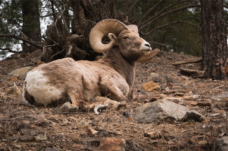
The drive continued west on NM 38 toward Questa, passing between Wheeler Peak Wilderness and Latir Peak Wilderness. As luck would have it, we had the chance to see some bighorn sheep up close and personal. Always fun to shoot these handsome creatures.
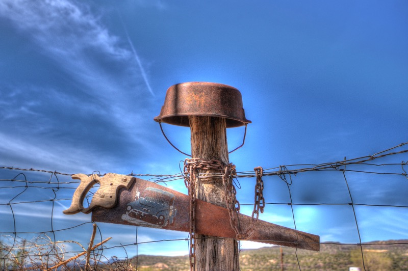
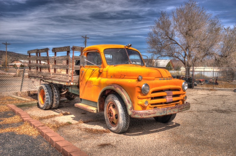
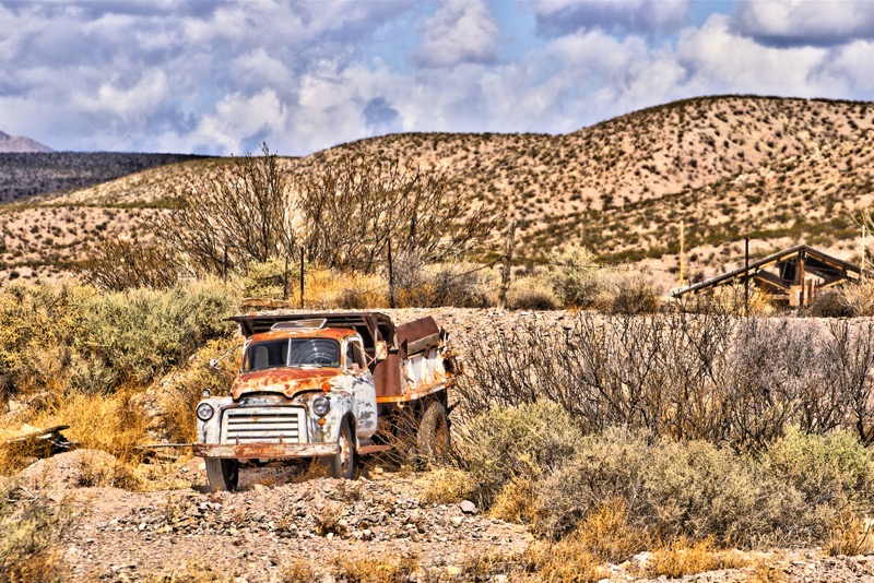
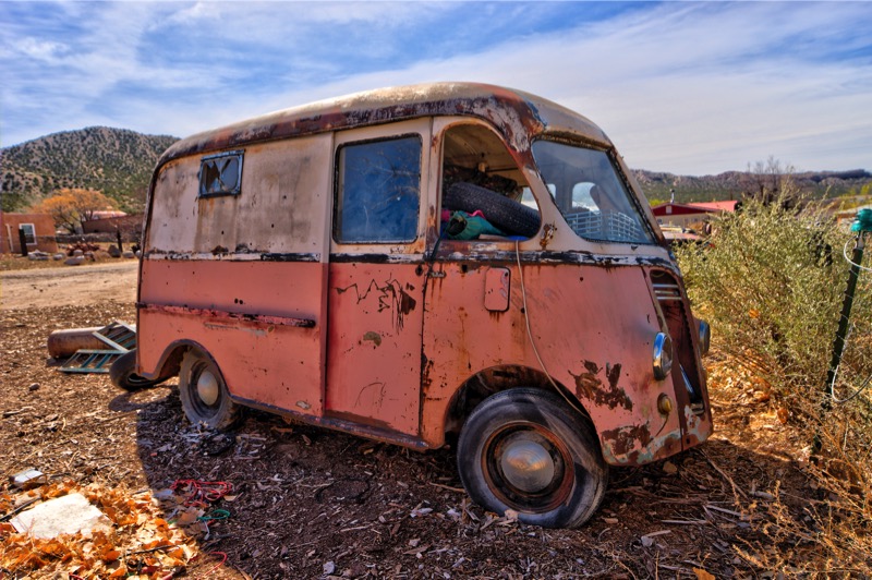
Old Trucks
Here are three old trucks from recent travels.
See you next time.